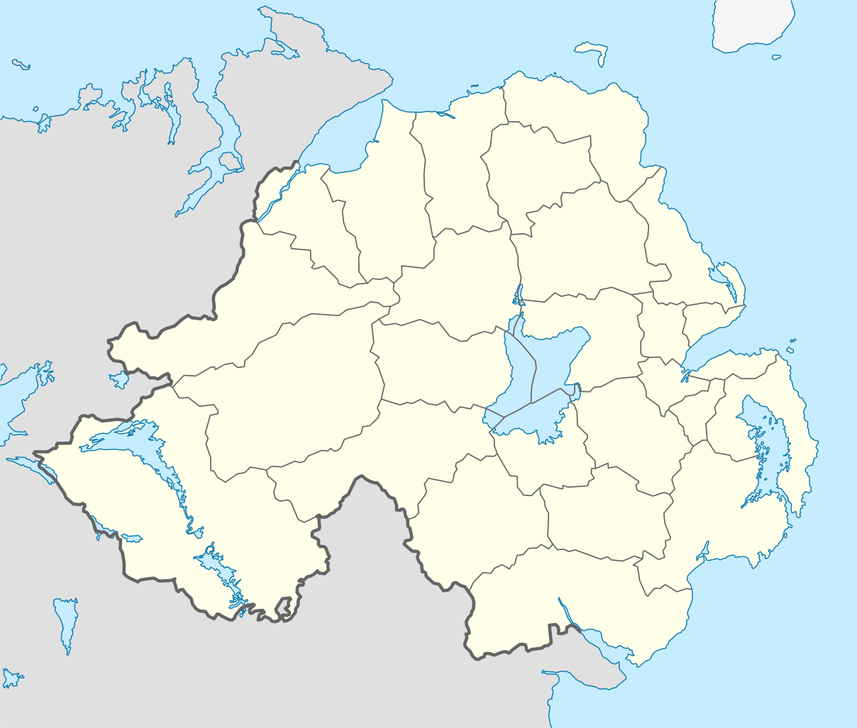

Short entry5.0 miles away
Castle Ward loughside
Castle Ward Bay, near Strangford · Tidal bay · loughside · woodland edge
 the ai birderBirding near me
The AI Birder · one-page field sheet
Downpatrick, County Down, Northern Ireland · BT30 7JB · BT30 7JB

Gadwall · Wigeon · Pintail · Teal · Mallard · Mute Swan
Castle Hide · Old Floodgates–Steamboat Quay riverside path · Countryside Centre nature garden
Check current access, hide closures and operator notices before travelling. Seasonal birds are possibilities, not promised sightings. Keep to authorised routes and give wildlife space.
Opening and charges checked 2026-10-25. Operator: https://www.daera-ni.gov.uk/articles/quoile-pondage-nature-reserve
Full guide and current source links: https://aibirder.co.uk/reserves/quoile-pondage-nature-reserve
NI 11 · DAERA reserve guide
Downpatrick, County Down, Northern Ireland · BT30 7JB
A former tidal estuary transformed into a freshwater lake, with reed-fringed bays, rushy grassland, wet scrub and developing woodland. Migrating waders use the reserve in spring and autumn; summer brings swans and breeding wildfowl including Gadwall, while large numbers of Wigeon and other ducks gather in winter alongside grebes, Grey Herons and Cormorants.
Decide if the visit fits.
Last checked 18 October 2026.
Opening and charges information · checked .
Stay nearby →Reserve overview
A former tidal estuary transformed into a freshwater lake, with reed-fringed bays, rushy grassland, wet scrub and developing woodland. Migrating waders use the reserve in spring and autumn; summer brings swans and breeding wildfowl including Gadwall, while large numbers of Wigeon and other ducks gather in winter alongside grebes, Grey Herons and Cormorants.
Eight checks for a smoother visit.
Conditions change: check the operator and transport notices before travelling.
January: typically look for Wigeon and Teal from Old Floodgates–Steamboat Quay riverside path. Use a sheltered riverside watch. February: typically look for Pintail from Castle Hide. The March 2026 group found it from this official hide. March: typically look for Goldeneye and Tufted Duck from Old Floodgates–Steamboat Quay riverside path. Check broad water as well as banks. April: typically look for Gadwall from Castle Hide. Keep sanctuary areas undisturbed. May: typically look for Grey Heron and Little Egret from Old Floodgates–Steamboat Quay riverside path. Watch feeding birds from the path. June: typically look for Great Crested Grebe and Mallard from Old Floodgates–Steamboat Quay riverside path. Do not approach waterside nests. July: typically look for Little Grebe from Old Floodgates–Steamboat Quay riverside path. Listen before scanning the cover. August: typically look for Kingfisher from Old Floodgates–Steamboat Quay riverside path. No nest-site directions or pursuit along banks. September: typically look for Gadwall from Castle Hide. Check current regional sightings. October: typically look for Wigeon and Teal from Old Floodgates–Steamboat Quay riverside path. Autumn water levels alter the view. November: typically look for Bullfinch and Long-tailed Tit from Countryside Centre nature garden. Combine garden listening with open-water scanning. December: typically look for Pintail and Wigeon from Castle Hide. Short daylight favours a compact circuit.
Best conditions: Use a calm, bright period for identifying ducks across the pondage; a scope helps from Castle Hide. Choose the riverside path for a shorter sheltered session if wind spoils the open-water view. This is an impounded freshwater lake, so river level and local notices matter more than marine high water.
Northern Ireland's government visitor information confirms free entry and no parking charges, checked on 18 October 2026. It says the reserve opens every day; the council tourism listing specifies pedestrian access around the clock throughout the year. The same listing currently marks the Visitor/Countryside Centre closed and gives toilet availability as Monday–Friday, 10am–4pm. Plan an outdoor visit and check that listing and any access notices before travelling. Parking is limited at the centre, with additional areas along Quay Road and at Quoile Road. Choose the access point that fits your walk rather than assuming every car park is next to the hide. Leave time to return safely in daylight when making a longer winter outing.
Access times: Reserve: Official government visitor page says open every day; a daily gate timetable is not specified. · Hides: Castle Hide is confirmed by a March 2026 RSPB group visit; current independent unlocking hours were not verified. · Car park: Limited parking at the centre plus Quay Road and Quoile Road approaches. Independent gate hours were not verified. · Dawn access: partly. Operator opening information.
The developed riverbank between the Old Floodgates and Steamboat Quay provides the core reserve visit, with the birdwatching hide overlooking the pondage. The remainder includes a wildlife sanctuary; a tempting view across the water is not an invitation to explore every shore. Use the formal path and hide to watch birds without entering their resting or nesting areas. Two-hour plan — an editorial suggestion: begin with a quiet watch at the hide, identifying the main ducks and comparing the near and distant margins. Then walk a comfortable section of the riverside and return by the same route, allowing time for pauses at clear views. Finish with a shorter second hide watch if birds are moving. This gives a useful comparison within a compact visit and avoids needing to complete a longer town route just to fill the time. Full-day plan — an editorial suggestion: combine a morning reserve watch with the officially described Quoile River Walk from Down County Museum. The tourism route is 5.5 miles and includes both roads and off-road paths, taking in the Mound of Down and Steamboat Quay. Use its directions for the actual itinerary, then take a food break in Downpatrick before returning to your most productive water view. Shorten the walking element if conditions, daylight or road crossings make it unsuitable. The full route includes crossings of the Belfast Road and roads near Quoile Bridge; choose places to stop where you are clear of traffic and other path users. Use a telescope from a stable, unobstructive position. When ducks dive, wait for them to surface rather than immediately changing viewpoint; after a few repetitions you may see a consistent feeding patch. Look for fish-eating birds along the river as well as scanning the centre of the pondage.
Use the linked reserve map and directions with current access notices. Species are typical seasonal targets. Light and telescope advice reflects our choice of viewpoint.
Freshwater pondage and open water
Use the official hide approach; no independent unlocking hours verified.
Winter: Gadwall, Pintail
Spring: Gadwall, Pintail
Summer: Gadwall
Autumn: Gadwall, Pintail
Light: either. Scope: essential.
River, reeds and banks
Developed public amenity path; remainder of reserve is a wildlife sanctuary.
Winter: Wigeon, Teal, Mallard, Mute Swan, Tufted Duck, Goldeneye, Cormorant, Grey Heron, Great Crested Grebe, Little Grebe, Little Egret, Kingfisher
Spring: Wigeon, Teal, Mallard, Mute Swan, Tufted Duck, Goldeneye, Cormorant, Grey Heron, Great Crested Grebe, Little Grebe, Little Egret, Kingfisher
Summer: Mallard, Mute Swan, Cormorant, Grey Heron, Great Crested Grebe, Little Grebe, Little Egret, Kingfisher
Autumn: Wigeon, Teal, Mallard, Mute Swan, Tufted Duck, Goldeneye, Cormorant, Grey Heron, Great Crested Grebe, Little Grebe, Little Egret, Kingfisher
Light: either. Scope: useful.
Garden, trees and scrub by the centre
Outdoor garden only; do not assume the centre or toilets are open.
Winter: Bullfinch, Long-tailed Tit, Goldfinch
Spring: Bullfinch, Long-tailed Tit, Goldfinch
Summer: Bullfinch, Long-tailed Tit, Goldfinch
Autumn: Bullfinch, Long-tailed Tit, Goldfinch
Light: either. Scope: not needed.
| Spot | Overlooks | Key species by season | Best light | Scope | Tide |
|---|---|---|---|---|---|
| Castle HideUse the official hide approach; no independent unlocking hours verified. | Freshwater pondage and open water | Winter: Gadwall, Pintail Spring: Gadwall, Pintail Summer: Gadwall Autumn: Gadwall, Pintail | either | essential | — |
| Old Floodgates–Steamboat Quay riverside pathDeveloped public amenity path; remainder of reserve is a wildlife sanctuary. | River, reeds and banks | Winter: Wigeon, Teal, Mallard, Mute Swan, Tufted Duck, Goldeneye, Cormorant, Grey Heron, Great Crested Grebe, Little Grebe, Little Egret, Kingfisher Spring: Wigeon, Teal, Mallard, Mute Swan, Tufted Duck, Goldeneye, Cormorant, Grey Heron, Great Crested Grebe, Little Grebe, Little Egret, Kingfisher Summer: Mallard, Mute Swan, Cormorant, Grey Heron, Great Crested Grebe, Little Grebe, Little Egret, Kingfisher Autumn: Wigeon, Teal, Mallard, Mute Swan, Tufted Duck, Goldeneye, Cormorant, Grey Heron, Great Crested Grebe, Little Grebe, Little Egret, Kingfisher | either | useful | — |
| Countryside Centre nature gardenOutdoor garden only; do not assume the centre or toilets are open. | Garden, trees and scrub by the centre | Winter: Bullfinch, Long-tailed Tit, Goldfinch Spring: Bullfinch, Long-tailed Tit, Goldfinch Summer: Bullfinch, Long-tailed Tit, Goldfinch Autumn: Bullfinch, Long-tailed Tit, Goldfinch | either | not needed | — |
Month chips show typical presence or our preferred viewing season. Choose birds that suit the time of your visit.
The council tourism listing describes a limited-mobility ramble beside the wooded riverbank. DAERA's published improvement reports document resurfaced riverside paths, a gradual ramp, wheelchair-suitable picnic benches and designated parking spaces at Quoile Road. These provide a useful basis for discussing a visit, but the reports describe works completed in earlier years rather than a present-day survey of every section. Ask the site manager about the specific starting car park and viewpoint you want to use. Confirm whether you can reach and use the hide with your equipment, and whether any surface damage or obstruction affects your intended route. Describe the distance, slope, turning space or assistance that matters to you so the answer is relevant to your visit. The longer museum-based Quoile River Walk has different demands: its official description includes a steep descent, kissing gates and a return option with steps. It should therefore be assessed separately from a short riverside outing. Visitors who need a continuous step-free route can plan around a suitable confirmed stretch and retrace it, rather than committing to the whole town loop. Arrange a convenient collection point if you use a taxi and intend a one-way visit.
The published reserve information lists picnic areas and information points. Bring refreshments for a long watch and use Downpatrick for meals or supplies before heading onto the riverside. Keep packaging and food remains away from wildlife and take litter out with you. For an organised group activity, filming or commercial use, the council listing asks for advance written permission from NIEA and directs enquiries to nieainfo@daera-ni.gov.uk. Make those arrangements before booking transport or advertising an event at the reserve.
A specific current dog-access rule was not stated in the consulted DAERA or council reserve pages. Contact the site manager before travel if bringing a dog is essential. Wherever access is permitted, keep the dog close on a short lead, remove waste and prevent it entering water, reedbeds or the wildlife sanctuary; follow all local signs.
The countryside-centre address is 5 Quay Road, Downpatrick, County Down, BT30 7JB. Government visitor directions identify signs on the A7 approach from Belfast, while the centre lies off the Downpatrick–Strangford side of town. Use the actual Quay Road destination for a taxi rather than a broad map search for the river. Translink's official timetable identifies the 215/515 Belfast–Downpatrick corridor. Route 14 connects Downpatrick Bus Station with Killyleagh and Shrigley and its official timetable includes the Quoile Park and Down High Quoile Road area on selected journeys. These are useful connections to investigate in the current date-specific planner; no stop immediately beside the hide is claimed. Check the final walking route and the return service before leaving the bus station. A prearranged taxi from Downpatrick is another option for reaching a chosen entrance, especially if you carry a telescope or need to limit walking. Agree the collection point for the return as well. The heritage railway is a visitor attraction, so plan a normal public-transport journey around buses rather than assuming it supplies a mainline rail connection to town.
Useful bases for an early start.
Booking.com links are affiliate links: we may earn a commission at no extra cost to you. How these links work.
About 1.9 miles by road, roughly 4 minutes’ drive from Downpatrick centre; OSRM / OpenStreetMap estimate measured 18 October 2026, excluding live traffic.
Measured driving route · 2026-10-18. Map estimates exclude live traffic.
The simplest town base for the reserve and Belfast bus connections.Find places to stay in Downpatrick on Booking.comAbout 10.4 miles by road, roughly 16 minutes’ drive from Strangford centre; OSRM / OpenStreetMap estimate measured 18 October 2026, excluding live traffic.
Measured driving route · 2026-10-18. Map estimates exclude live traffic.
A lough-side village base for a wider Lecale visit.Find places to stay in Strangford on Booking.comAbout 6.0 miles by road, roughly 9 minutes’ drive from Killyleagh centre; OSRM / OpenStreetMap estimate measured 18 October 2026, excluding live traffic.
Measured driving route · 2026-10-18. Map estimates exclude live traffic.
A northern lough-side base for combining Quoile with other outings.Find places to stay in Killyleagh on Booking.comExplore County Down’s full guides and smaller birding sites
DAERA gives the site-manager telephone as 028 4461 5520. Use it for an access question that affects your visit and identify which Quoile car park or path you mean. The department's reserve page explains the habitat and seasonal birds; the council tourism page is the clearer source for the current building status. The lake developed after a tidal barrier was constructed in 1957, and its sequence of water, reeds, wet scrub and woodland helps explain the variety of birds. In your own notes, separate the open-water species from those using margins and trees so a return visit can compare habitats as well as totals.
Check RSPB Belfast Quoile visit report. dated March 2026 visit archive Reports show what has been seen, not what will be.
Follow the BTO Birders’ Code and give wildlife space.
Quoile Pondage Nature Reserve: Price not published by operator.
Quoile Pondage Nature Reserve: A specific current dog-access rule was not stated in the consulted DAERA or council reserve pages.
Quoile Pondage Nature Reserve: Spring and autumn waders · summer breeding wildfowl · winter Wigeon and ducks.
Quoile Pondage Nature Reserve: DAERA's published improvement reports document resurfaced riverside paths, a gradual ramp, wheelchair-suitable picnic benches and designated parking spaces at Quoile Road.
Quoile Pondage Nature Reserve: The countryside-centre address is 5 Quay Road, Downpatrick, County Down, BT30 7JB.
Shorter stops within 15 miles in a straight line. Use the operator’s arrival directions for the journey.
Castle Ward Bay, near Strangford · Tidal bay · loughside · woodland edge
Mill Quarter Bay, near Strangford · Coastal grassland · cliffs · rocky shore · scrub
Southern tip of the Ards Peninsula, near Portaferry · Raised shingle beach · coastal grassland · scrub · rocky shore
Nearby complete guides.
Stops with a purpose: use one as a contrasting habitat or weather-proof Plan B. Distances are straight-line estimates, not road journeys.