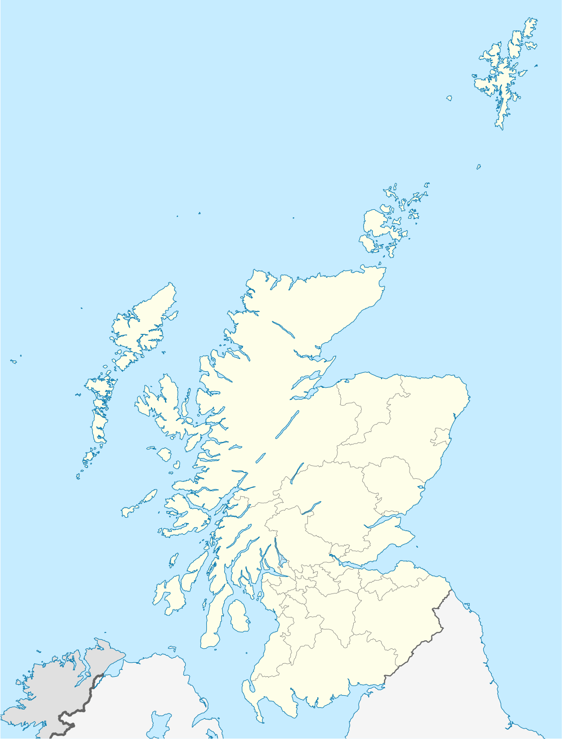
Short entry5.2 miles away
Committee Road birdwatching viewpoint
Interior of North Uist · Heather moorland · young forestry · croftland edge
 the ai birderBirding near me
The AI Birder · one-page field sheet
Hougharry, North Uist, Outer Hebrides · HS6 5DL

Corn Bunting · Twite · Oystercatcher · Song Thrush
Circular nature trail: machair section · Circular nature trail: rocky shore section · Circular nature trail: sandy shore section
Check current access, hide closures and operator notices before travelling. Seasonal birds are possibilities, not promised sightings. Keep to authorised routes and give wildlife space.
Opening and charges checked 2026-10-25. Operator: https://www.rspb.org.uk/days-out/reserves/balranald
Full guide and current source links: https://aibirder.co.uk/reserves/rspb-balranald
SC 23 · RSPB reserve guide
Hougharry, North Uist, Outer Hebrides
Calling corncrakes and breeding waders in the machair
Decide if the visit fits.
Last checked 18 October 2026.
Opening and charges information · checked .
Stay nearby →Reserve overview
Calling corncrakes and breeding waders in the machair
Eight checks for a smoother visit.
Conditions change: check the operator and transport notices before travelling.
January: typically choose a sheltered part of the Circular nature trail: machair section for Twite and Song Thrush, adding Oystercatchers from the rocky shore section only when footing and weather suit.
February: usually a short daylight watch is more useful than a storm-battered circuit. Oystercatchers can be watched from Circular nature trail: rocky shore section; Corn Buntings are an alternative along the machair section.
March: typically Skylarks and Lapwings become more conspicuous from Circular nature trail: machair section. Stay on the path and turn back if birds repeatedly alarm rather than continuing towards them.
April: usually the machair section of Circular nature trail suits Lapwing and Redshank, while Ringed Plovers can be watched from the sandy shore section without searching the breeding ground.
May: typically give Corn Bunting and Skylark time from Circular nature trail: machair section, then compare Dunlin at the sandy shore section. Corncrake is a listen-without-pursuit species: no calling-bird location is published.
June: usually a strong month for the breeding-wader landscape: Lapwing and Snipe from Circular nature trail: machair section, plus Oystercatcher along the rocky shore section. Do not approach nests or dependent birds.
July: typically use Circular nature trail: sandy shore section for Ringed Plover and the machair section for Reed Bunting. Corncrakes can remain hidden throughout a visit; use an advertised RSPB walk if available.
August: usually watch the changing shoreline for Ringed Plover and Dunlin from Circular nature trail: sandy shore section. Twite adds interest along the machair section as birds gather away from breeding territories.
September: typically compare Dunlin along Circular nature trail: sandy shore section with Twite along the machair section. Unusual arrivals are reasons to read dated reports, not to expect a named rarity on the next visit.
October: usually keep the route flexible around Atlantic weather. Corn Bunting and Twite from Circular nature trail: machair section give a worthwhile aim; choose the rocky shore Oystercatcher watch only in safe conditions.
November: typically use a brighter, calmer daylight window for Oystercatchers from Circular nature trail: rocky shore section. Song Thrush and Twite along the machair section offer a shorter alternative when the exposed coast is uncomfortable.
December: usually assess the wind at the visitor centre before setting off. Corn Buntings from Circular nature trail: machair section and Oystercatchers on the rocky shore are more realistic plans than summer Corncrakes.
Best conditions: Our choice is a calm early walk on the marked circular trail, allowing time to hear farmland birds before searching with binoculars. Typically wind makes calls harder to locate and sea spray can spoil a long coastal watch. The mainland-style hide circuit does not apply: natural crofting ground, boulders and soft patches set the pace. Light and scope ratings are editorial. Never leave the route to locate Corncrake or phalarope breeding sites.
The RSPB charges page checked on 18 October 2026 lists free admission for adults and children, including non-members. No separate car-parking tariff is published on that charges page. The visitor-centre car park has 12 spaces; groups should arrange a visit because parking capacity is limited. Do not interpret a space at an adjacent campsite as part of the RSPB parking provision. The reserve calendar lists 24-hour access and the facilities page says the information centre is open all year. It does not provide a separate daily schedule for the centre's toilets, so contact the RSPB if that provision is essential to your journey. The always-open landscape does not remove the need to respect crofting activity, breeding birds and local signage. Check weather, reserve information and ferry status before travelling, as the sea crossing may affect an entire island itinerary rather than simply the last part of a day out.
Access times: Reserve: Open24hours, subject to responsible access, crofting work and temporary signs. · Hides: No enclosed hide network is listed. The visitor information centre is open all year, but separate daily building/toilet hours were not published. · Car park: Visitor-centre parking; no separate locking hours were published. Do not infer lighting or overnight facilities from24-hour reserve access. · Dawn access: yes. Operator opening information.
Balranald's main circular nature trail runs from the visitor-centre area across crofting land towards the coast, bringing together machair, dunes, rocky shore and beach. The RSPB describes it as three miles or 4.5 kilometres and suggests one to two hours for the walk itself. Treat those distances as the operator's approximate description rather than as a promise that every birdwatching circuit can be completed in an hour. The route is a way to watch an actively managed landscape, not a licence to roam into the crops. Corncrakes use cover that may appear empty from a distance, while waders can nest close to apparently bare ground. Follow the marked route and watch behaviour before stepping forward near a calling adult. There is no network of enclosed hides to move between; the interest comes from slow scanning, listening and the changing shoreline. Two-hour plan: begin at the centre to orientate yourself, then walk a manageable part of the circular route with frequent stops for waders and farmland birds. Spend the longest stationary watch where you can see both the machair and shoreline without obstructing other walkers. Turn back or shorten the circuit if the going is slow, rather than sacrificing the watching time to complete a distance. Full-day plan: in settled late-spring or summer weather, take the circular trail slowly during the morning, pausing to identify lapwings, redshanks, ringed plovers and singing birds. Break away from the nesting areas for lunch, then revisit a productive section in different light. A quiet listening session from an established route may add corncrake interest later. Consider an RSPB summer guided walk when one is scheduled; the operator normally offers one weekly, but individual dates need checking. Keep the island day flexible enough for changes in wind or transport.
Use the linked reserve map and directions with current access notices. Species are typical seasonal targets. Light and telescope advice reflects our choice of viewpoint.
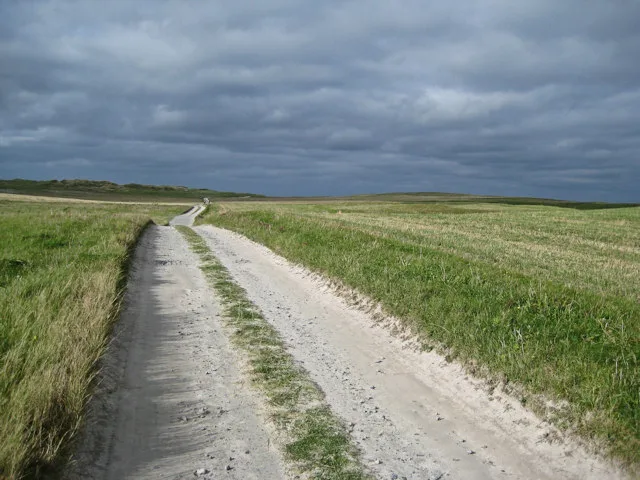
Crofting fields and flower-rich machair from the marked public route
Uneven natural crofting ground; remain on the marked trail and do not enter crops or approach calling ground-nesting birds.
Winter: Twite, Song Thrush
Spring: Lapwing, Redshank, Skylark, Corn Bunting
Summer: Lapwing, Dunlin, Snipe, Corn Bunting, Reed Bunting
Autumn: Twite, Skylark
Light: either. Scope: not needed.
The rocky coastal edge and offshore water
Natural boulders, soft patches and rough footing; do not scramble onto wave-washed rocks.
Winter: Oystercatcher
Spring: Oystercatcher, Ringed Plover
Summer: Oystercatcher, Ringed Plover
Autumn: Oystercatcher, Dunlin
Light: either. Scope: useful.
Tide: Watch from the marked route as the feeding edge changes; never pursue birds as shore space narrows.
Sandy beach and the shoreward edge of the machair
Use the signed coastal section. Leave space for feeding birds and follow seasonal restrictions rather than walking towards a family party.
Winter: Oystercatcher
Spring: Ringed Plover, Dunlin
Summer: Ringed Plover, Oystercatcher
Autumn: Dunlin, Ringed Plover
Light: either. Scope: useful.
| Spot | Overlooks | Key species by season | Best light | Scope | Tide |
|---|---|---|---|---|---|
| Circular nature trail: machair sectionUneven natural crofting ground; remain on the marked trail and do not enter crops or approach calling ground-nesting birds. | Crofting fields and flower-rich machair from the marked public route | Winter: Twite, Song Thrush Spring: Lapwing, Redshank, Skylark, Corn Bunting Summer: Lapwing, Dunlin, Snipe, Corn Bunting, Reed Bunting Autumn: Twite, Skylark | either | not needed | — |
| Circular nature trail: rocky shore sectionNatural boulders, soft patches and rough footing; do not scramble onto wave-washed rocks. | The rocky coastal edge and offshore water | Winter: Oystercatcher Spring: Oystercatcher, Ringed Plover Summer: Oystercatcher, Ringed Plover Autumn: Oystercatcher, Dunlin | either | useful | Watch from the marked route as the feeding edge changes; never pursue birds as shore space narrows. |
| Circular nature trail: sandy shore sectionUse the signed coastal section. Leave space for feeding birds and follow seasonal restrictions rather than walking towards a family party. | Sandy beach and the shoreward edge of the machair | Winter: Oystercatcher Spring: Ringed Plover, Dunlin Summer: Ringed Plover, Oystercatcher Autumn: Dunlin, Ringed Plover | either | useful | — |
Month chips show typical presence or our preferred viewing season. Choose birds that suit the time of your visit.
Choose safe visibility and footing on the signed coastal trail as well as the predicted tide. No operator birdwatching tide threshold or fixed high-water arrival interval was verified. Do not use a prediction for Lochmaddy as an exact local beach water-level timetable on the opposite coast.
UKHO EasyTide: Lochmaddy (regional prediction; opposite coast) · RNLI tide safety
The main trail is mostly flat, but the RSPB describes natural, uneven crofting ground with stones, boulder fields and soft or wet sections. Flatness therefore does not make it a firm-surfaced accessible circuit. A visitor who manages level tarmac comfortably may find this route substantially more demanding, especially after rain. Good footwear and a plan to shorten the outing are useful even in apparently mild weather. The reserve is described as partially pushchair friendly. The only seating listed is a bench with a back and armrests outside the visitor centre; there are no additional seats along the circular trail in the current facilities description. This is an important consideration if you need regular rests or cannot remain standing for a long birdwatching session. The centre has an accessible toilet. Contact the RSPB before travelling with a wheelchair or other mobility aid to discuss the precise section you hope to use and current ground conditions. Published dimensions for gates, doorways and turning areas were not found in the checked pages. A shorter watch from near the centre may suit some visitors better than the complete natural-surface trail, but the team should advise on the actual approach you need rather than a general assumption based on the reserve's open landscape.
The small visitor centre provides interpretation about Balranald's species and crofting landscape. Toilets are in the centre. A full café, food shop or binocular-hire service is not listed among the RSPB facilities, so bring lunch, drinking water and your own optics. The nearby commercial campsite has separate arrangements and should not be treated as a reserve visitor service. The RSPB reports no nearby public baby-changing facilities. Barbecues are prohibited on the reserve because of fire risk to the habitat and people.
Keep dogs under close control throughout the year because livestock and wildlife share the crofting landscape. For the ground-nesting season, 1 April–15 August, the RSPB asks that dogs stay close, preferably on a short lead. Clear up waste and prevent a dog from entering nesting cover or chasing shorebirds. Assistance dogs are welcome in all parts of the reserve.
Caledonian MacBrayne's Uig–Lochmaddy ferry links North Uist with the Isle of Skye. Its winter timetable for 19 October 2026–25 March 2027 is available with bookings open; use the correct seasonal sailing rather than carrying a summer departure time into winter. Book a vehicle space where needed and read the sailing's check-in instructions. Foot passengers should plan the island connection as carefully as the crossing itself. The RSPB identifies DA Travel's W18 North Uist circular, with Hougharry the nearest village stop. Comhairle nan Eilean Siar publishes clockwise and anticlockwise W18 timetables. The published winter 2026/27 W18 tables run through 25 March 2027. Check direction, day and request codes: X/Y-coded journeys require booking by 5pm the previous day on 01878 700599. The anticlockwise table includes Balranald RSPB, but not every journey serves the entrance. Confirm the return and holiday exceptions in the relevant table before walking to the reserve. A pre-arranged island taxi is an alternative if the ferry and local bus do not connect conveniently. Drivers follow the A865 and the signs towards Hogha Gearraigh/Hougharry, then the visitor-centre turn. The reserve itself is reached by road on North Uist; the map is not a mainland ferry-departure point.
Useful bases for an early start.
Booking.com links are affiliate links: we may earn a commission at no extra cost to you. How these links work.
About 16.4 miles by road, roughly 27 minutes’ drive (OSRM, measured 18 October 2026; estimate without live traffic).
Measured driving route · 18 October 2026. Map estimates exclude live traffic.
A base in Lochmaddy suits a longer break that includes RSPB Balranald.Find places to stay in Lochmaddy on Booking.comAbout 42.1 miles by road, roughly 65 minutes’ drive (OSRM, measured 18 October 2026; estimate without live traffic).
Measured driving route · 18 October 2026. Map estimates exclude live traffic.
A base in Lochboisdale suits a longer break that includes RSPB Balranald.Find places to stay in Lochboisdale on Booking.comAbout 18.4 miles by road, roughly 32 minutes’ drive (OSRM, measured 18 October 2026; estimate without live traffic).
Measured driving route · 18 October 2026. Map estimates exclude live traffic.
A base in Balivanich suits a longer break that includes RSPB Balranald.Find places to stay in Balivanich on Booking.comExplore Na h-Eileanan Siar’s full guides and smaller birding sites
Email outerhebrides@rspb.org.uk or call 01876 714040 for Balranald enquiries, group access and the current guided-walk programme. DA Travel can advise on local bus arrangements on 01878 700599, while the council provides the published W18 schedules. Use CalMac directly for ferry bookings and disruption notices. For a corncrake-focused visit, ask about responsible public viewpoints and follow the team's route advice, rather than seeking directions into nesting fields or relying on a sighting pin shared without access context.
Check Western Isles Wildlife: dated regional sightings. most days Reports show what has been seen, not what will be.
Follow the BTO Birders’ Code and give wildlife space.
RSPB Balranald: Free reserve entry; separate parking tariff not published.
RSPB Balranald: Keep dogs under close control throughout the year because livestock and wildlife share the crofting landscape.
RSPB Balranald: Late spring and summer for corncrakes and breeding waders; year-round coastal birds.
RSPB Balranald: Flatness therefore does not make it a firm-surfaced accessible circuit.
RSPB Balranald: Caledonian MacBrayne's Uig–Lochmaddy ferry links North Uist with the Isle of Skye.
Shorter stops within 15 miles in a straight line. Use the operator’s arrival directions for the journey.
Interior of North Uist · Heather moorland · young forestry · croftland edge
Central Benbecula · Moorland · lochs · heather · coastal views
Nearby complete guides.
Stops with a purpose: use one as a contrasting habitat or weather-proof Plan B. Distances are straight-line estimates, not road journeys.