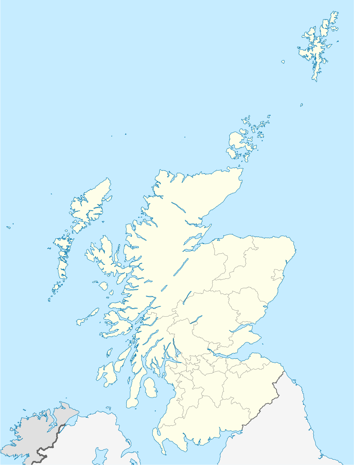
Contrasting destinations for pinewood, floodplain, blanket bog, loch, estuary, saltmarsh, island and seabird-cliff birding, including Badenoch, Perthshire, Aberdeenshire, Angus, Fife and Islay. Use the finder below for complete guides and all RSPB places listed here.
Some links earn us a small commission at no extra cost to you. Bases are geographical suggestions, with no claim of property inspection or availability.
Nethy Bridge
A base for the speyside and the cairngorms reserve visits shown below.
RSPB Loch Garten: approximately 9 minutes / 3.2 miles by road. Measured 2026-10-09; excludes traffic, parking and walking. Open road directions
About 3.2 miles by road, roughly 10 minutes’ drive from Nethy Bridge to the visitor arrival point. Allow extra time around Nethy Bridge for traffic.
RSPB Insh Marshes: approximately 35 minutes / 23.2 miles by road. Measured 2026-10-25; excludes traffic, parking and walking. Open road directions
Road arrival point reused from the destination guide; excludes walking, parking and live traffic.
WWT Caerlaverock: approximately 17 minutes / 9.0 miles by road. Measured 2026-10-18; excludes traffic, parking and walking. Open road directions
About 9.0 miles by road, roughly 17 minutes' drive from Dumfries centre; OSRM / OpenStreetMap estimate measured 18 October 2026, excluding live traffic.
RSPB Mersehead: approximately 26 minutes / 16.4 miles by road. Measured 2026-10-18; excludes traffic, parking and walking. Open road directions
About 16.4 miles by road, roughly 26 minutes’ drive from the mapped town-centre point to the reserve approach. OpenStreetMap estimate for Dumfries, measured 18 October 2026. For the Dumfries journey linked to RSPB Mersehead, leave additional time for traffic and reaching your precise accommodation address.
A base for the hebrides reserve visits shown below.
RSPB Loch Gruinart: approximately 12 minutes / 6.7 miles by road. Measured 2026-10-18; excludes traffic, parking and walking. Open road directions
About 6.7 miles by road, roughly 11 minutes’ drive to the reserve on Islay; ferry travel is additional. OSRM measured the Bridgend journey for RSPB Loch Gruinart on 18 October 2026; the estimate excludes live traffic.
RSPB The Oa: approximately 34 minutes / 17.1 miles by road. Measured 2026-10-25; excludes traffic, parking and walking. Open road directions
Road arrival point reused from the destination guide; excludes walking, parking and live traffic.
RSPB Marwick Head: approximately 11 minutes / 4.7 miles by road. Measured 2026-10-18; excludes traffic, parking and walking. Open road directions
About 4.7 miles by road, roughly 11 minutes' drive (OSRM estimate, measured 18 October 2026; not live traffic).
RSPB Cottascarth and Rendall Moss: approximately 25 minutes / 12.7 miles by road. Measured 2026-10-25; excludes traffic, parking and walking. Open road directions
Road arrival point reused from the destination guide; excludes walking, parking and live traffic.