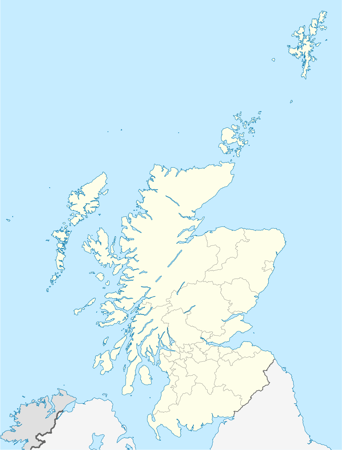

Short entry2.4 miles away
Brock Wood
Dunbar (3 mi / 4.8 km) · Mixed woodland with regenerating native trees
 the ai birderBirding near me
The AI Birder · one-page field sheet
Linkfield and Tyninghame, East Lothian, Scotland · EH42 1XF · EH42 1XF

Wigeon · Whooper Swan · Greenshank · Redshank · Curlew · Teal
Ware Road estuary embankment · Belhaven Bay landward paths · Linkfield woodland paths · Tyninghame Links woodland paths · Tyninghame Links shore viewpoints
Check current access, hide closures and operator notices before travelling. Seasonal birds are possibilities, not promised sightings. Keep to authorised routes and give wildlife space.
Opening and charges checked 2026-10-25. Operator: https://www.eastlothian.gov.uk/libraries-leisure-and-tourism/countryside-and-wildlife/plan-your-visit-east-lothians-countryside/countryside-sites
Full guide and current source links: https://aibirder.co.uk/reserves/john-muir-country-park-and-tyninghame
SC 43 · East Lothian Council reserve guide
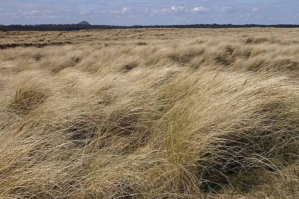
Linkfield and Tyninghame, East Lothian, Scotland · EH42 1XF
A flexible East Lothian coast day, with family facilities at Linkfield and quieter birdwatching on the Tyne estuary approaches.
Decide if the visit fits.
Last checked 18 October 2026.
Opening and charges information · checked .
Stay nearby →Reserve overview
A flexible East Lothian coast day, with family facilities at Linkfield and quieter birdwatching on the Tyne estuary approaches.
Eight checks for a smoother visit.
Conditions change: check the operator and transport notices before travelling.
January: Usually choose Ware Road estuary embankment for Wigeon and Teal. Scan from the raised route rather than following flocks onto mud. A separate Linkfield woodland walk offers Green Woodpecker and possible Crossbill when wind makes the shore uncomfortable. February: Wigeon and Whooper Swan usually remain worthwhile targets from Ware Road estuary embankment. Give the water a slow telescope scan, then use Linkfield woodland paths for Crossbill. Do not turn a feeding-flock watch into a search for a roost. March: Usually compare lingering Teal with Redshank from Ware Road estuary embankment. Linkfield woodland paths offer Green Woodpecker, while Skylark and Meadow Pipit bring a different kind of attention to Belhaven Bay landward paths. Avoid walking through open breeding habitat. April: Whimbrel typically adds spring passage interest from Tyninghame Links shore viewpoints. Ware Road estuary embankment offers Greenshank and Redshank possibilities on the rising tide. Keep the two approaches separate and allow generous time for the return. May: Our choice is Belhaven Bay landward paths for Skylark and Meadow Pipit, with a distant coastal scan for Little Tern. Gannet is another possibility from Tyninghame Links shore viewpoints. Respect all temporary restrictions protecting ground-nesting birds. June: Typically give Belhaven Bay landward paths time for Meadow Pipit, Skylark and Little Tern offshore. The northern Tyninghame Links woodland paths offer Jay and Great Spotted Woodpecker. A short quiet walk is preferable to pushing repeatedly through family groups. July: Gannet usually rewards a coastal scan from Tyninghame Links shore viewpoints. Returning Curlew can change the estuary scene from Ware Road estuary embankment. Watch feeding birds from the path and avoid making a direct approach to resting flocks. August: Greenshank and Curlew typically draw attention back to Ware Road estuary embankment. Whimbrel can reward Tyninghame Links shore viewpoints during passage. Compare bills and feeding actions through the telescope, keeping your own party above the tidal ground. September: Usually prioritise Greenshank, Redshank and Curlew from Ware Road estuary embankment. Belhaven Bay landward paths add Skylark and Linnet. The county guide’s rising-tide advice is useful, but it never overrides safe access or a wildlife exclusion sign. October: Wigeon and Teal usually become stronger reasons for an estuary watch at Ware Road estuary embankment. On a separate northern outing, Tyninghame Links woodland paths offer Jay. Shortening the exposed section leaves more time for settled observation. November: Usually scan Ware Road estuary embankment for Wigeon, Teal and Whooper Swan. Keep far enough away that birds continue feeding undisturbed. Linkfield woodland paths offer a different prospect for Green Woodpecker when visibility or wind limits the estuary. December: Curlew and Redshank usually remain a useful identification comparison from Ware Road estuary embankment. At Belhaven Bay landward paths, check Skylark and Linnet from the route. Finish with enough daylight for the return rather than extending towards an unfamiliar channel.
Best conditions: Our choice is a calm morning for woodland listening, or the county-recommended rising tide for feeding waders watched from the established embankment. Typically strong onshore wind, rain and glare reduce distant identification. Choose a sheltered woodland route when necessary. Light and scope ratings are editorial guidance; no safe crossing time or tide-height threshold is inferred.
Parking and facilities checked 18 October 2026: East Lothian Council's coastal parking tariff is £3 a day, valid across its coastal car parks during that day; Blue Badge holders are currently exempt. Linkfield is the main family-oriented start for John Muir Country Park, reached from the A1087. Parking is prohibited from 11pm to 4am. Walking the park does not require a separate admission ticket in the council's visitor information. Tyninghame has different approaches and parking arrangements, so follow the signs and payment terms at the start you actually choose. Do not use a Linkfield postcode to navigate to the northern shore. Check the current council countryside information and tide before travel, because coastal access and path conditions can change.
Access times: Reserve: Outdoor public routes are available year-round, subject to temporary restrictions, tides and safe conditions; no fixed country-park closing hour is published on the checked council page. · Hides: Open-air watching; no staffed hide or hide opening timetable is advertised for these routes. · Car park: Council coastal car parks prohibit parking 23:00–04:00. This is a parking restriction, not proof of a locked entrance. · Dawn access: yes. Operator opening information.
John Muir Country Park covers a long section of varied coast, so choose one walk rather than trying to connect every named bay in a day. Linkfield gives a straightforward base for woodland, dune and Belhaven-side watching. Tyninghame Links, reached separately from Lime Tree Walk, offers northern woodland and shore paths. The established Ware Road estuary embankment gives a separate view over tidal feeding water. The county guide favours a rising tide two to three hours before high water, but safe landward access comes first. Use the council's route information and remain on established landward paths. Two-hour plan, our suggestion: begin at Linkfield, make a slow woodland-edge walk and continue only as far towards the coastal views as suits the group. Spend time scanning before returning, leaving room for a playground or picnic break if visiting with children. A family outing need not become a complete coastal circuit. Full-day plan, our suggestion: devote the morning to a relaxed Linkfield-based walk, have lunch near the facilities, and decide whether the tide and weather justify a second shore session. If choosing Tyninghame, travel to its recognised starting point and use a separately mapped route; do not improvise an estuary crossing to join the two halves. The council explicitly warns that tide affects safe access by the Tyne. Keep off saltmarsh channels, avoid walking into flocks and turn inland when birds repeatedly lift ahead of you. For a birding-first day, revisit one good estuary outlook as the water changes rather than adding a long beach extension simply to fill the afternoon. For families, choose one achievable observation before setting off: compare two feeding styles, find three different habitats, or listen for a bird before looking for it. That gives a short walk purpose without making children wait through every distant identification. For a quieter adult visit, work one estuary outlook in several slow scans, using obvious landmarks to keep track of the birds. The woodland and shore offer different kinds of attention, so vary the pace instead of carrying on until everyone is tired. Finish while there is still energy for the return, a drink and a final look at the landscape.
Use the linked reserve map and directions with current access notices. Species are typical seasonal targets. Light and telescope advice reflects our choice of viewpoint.
Tyne estuary mud and shallow tidal water from the existing raised public route
Keep to the established embankment; do not descend into creeks or approach resting flocks.
Winter: Wigeon, Teal, Whooper Swan
Spring: Greenshank, Redshank
Summer: Redshank, Curlew
Autumn: Greenshank, Curlew
Light: either. Scope: essential.
Tide: The county guide recommends the rising tide, two to three hours before high water.
Belhaven-side sand, grassland and coastal water from established paths
Begin from Linkfield and stay landward of feeding birds; any local breeding-bird closures take priority.
Winter: Skylark, Linnet
Spring: Meadow Pipit, Skylark
Summer: Little Tern, Meadow Pipit
Autumn: Skylark, Linnet
Light: either. Scope: useful.
Tide: Check Dunbar predictions; never use the estuary or sand channels as a crossing.
Woodland and its edges on the Linkfield public route
Choose the signed woodland route as the sheltered alternative; do not search for nest holes.
Winter: Crossbill, Green Woodpecker
Spring: Crossbill, Green Woodpecker
Summer: Green Woodpecker
Autumn: Crossbill
Light: either. Scope: not needed.
Northern mixed woodland reached separately from Tyninghame Links
Use the recognised Lime Tree Walk approach and public tracks; it is a separate walk from Linkfield.
Winter: Jay, Great Spotted Woodpecker
Spring: Great Spotted Woodpecker, Jay
Summer: Jay
Autumn: Great Spotted Woodpecker
Light: either. Scope: not needed.
North-side coastal water and feeding shore from the existing public route
No route is offered across the Tyne, through saltmarsh channels or towards a high-water roost.
Winter: Curlew
Spring: Whimbrel, Gannet
Summer: Gannet, Whimbrel
Autumn: Whimbrel, Curlew
Light: either. Scope: essential.
Tide: Watch from a landward position and turn back before access is threatened.
| Spot | Overlooks | Key species by season | Best light | Scope | Tide |
|---|---|---|---|---|---|
| Ware Road estuary embankmentKeep to the established embankment; do not descend into creeks or approach resting flocks. | Tyne estuary mud and shallow tidal water from the existing raised public route | Winter: Wigeon, Teal, Whooper Swan Spring: Greenshank, Redshank Summer: Redshank, Curlew Autumn: Greenshank, Curlew | either | essential | The county guide recommends the rising tide, two to three hours before high water. |
| Belhaven Bay landward pathsBegin from Linkfield and stay landward of feeding birds; any local breeding-bird closures take priority. | Belhaven-side sand, grassland and coastal water from established paths | Winter: Skylark, Linnet Spring: Meadow Pipit, Skylark Summer: Little Tern, Meadow Pipit Autumn: Skylark, Linnet | either | useful | Check Dunbar predictions; never use the estuary or sand channels as a crossing. |
| Linkfield woodland pathsChoose the signed woodland route as the sheltered alternative; do not search for nest holes. | Woodland and its edges on the Linkfield public route | Winter: Crossbill, Green Woodpecker Spring: Crossbill, Green Woodpecker Summer: Green Woodpecker Autumn: Crossbill | either | not needed | — |
| Tyninghame Links woodland pathsUse the recognised Lime Tree Walk approach and public tracks; it is a separate walk from Linkfield. | Northern mixed woodland reached separately from Tyninghame Links | Winter: Jay, Great Spotted Woodpecker Spring: Great Spotted Woodpecker, Jay Summer: Jay Autumn: Great Spotted Woodpecker | either | not needed | — |
| Tyninghame Links shore viewpointsNo route is offered across the Tyne, through saltmarsh channels or towards a high-water roost. | North-side coastal water and feeding shore from the existing public route | Winter: Curlew Spring: Whimbrel, Gannet Summer: Gannet, Whimbrel Autumn: Whimbrel, Curlew | either | essential | Watch from a landward position and turn back before access is threatened. |
Month chips show typical presence or our preferred viewing season. Choose birds that suit the time of your visit.
For the established estuary embankment, the county guide recommends arriving two to three hours before high water. Stay landward, do not approach high-water roosts and never cross the Tyne.
Linkfield has designated disabled spaces and accessible toilets, according to East Lothian's visitor information. This makes it the most useful place to begin an enquiry about a visit needing reliable facilities. The wider park still includes natural woodland, dune and beach surfaces, so a parking space does not establish a continuous accessible route to every viewpoint. Ask the countryside rangers about the particular path from Linkfield you intend to use, its surface after rain, any gates and suitable places to rest. Explain the wheelchair, scooter or walking aid involved. The visitor information also notes a vehicle-height restriction that can vary between 1.9m and 2.1m; check before bringing a high vehicle or roof-mounted equipment. Tyninghame's northern approaches have different terrain and should be assessed separately. For anyone who tires easily, combine a short firm-path wildlife session with a rest near the facilities, rather than committing to sand early in the day. Wind can make a coastal watch surprisingly cold while sitting still, even when the play area or sheltered woodland feels warm.
Linkfield provides toilets, accessible toilets, showers, cycle racks, picnic space and a children's play area. A food outlet is seasonal, so carry drinks and a meal if the day depends on eating there. These facilities are part of the appeal for a mixed-age group and are not repeated along every coastal path. Keep the birding section short enough to leave time for a proper break. Take food litter away and avoid feeding wildlife around the picnic area.
Keep dogs under effective control and follow local signs, using a short lead around bird flocks, livestock and busy family paths. Do not let a dog run into the estuary or chase birds along the beach. Choose another stretch of the public route if resting birds would otherwise be pushed repeatedly ahead of your party.
Dunbar station is a useful rail gateway, served by ScotRail and other main-line operators. The council describes an approximately 15-minute walk from the station to Dunbar Harbour at the eastern end of the park; that is not the same as arriving at Linkfield. For the Linkfield start, compare East Coast Buses services between Edinburgh and Dunbar, checking the stop and final walk on the current timetable. A taxi from Dunbar can simplify the journey for a family or anyone carrying equipment. Tyninghame requires its own onward plan and should not be treated as a convenient station-side extension. Drivers follow the A1 to Thistly Cross, then the A1087 towards Dunbar and the signed turn for Linkfield. Use the authorised car park and retain the coastal ticket if visiting another council car park later. Save the route map and return transport details before starting a long coast walk.
Useful bases for an early start.
Booking.com links are affiliate links: we may earn a commission at no extra cost to you. How these links work.
About 2.5 miles by road, roughly 8 minutes’ drive to Linkfield public car park. OSRM measured the Dunbar journey for John Muir Country Park and Tyninghame on 18 October 2026; the estimate excludes live traffic.
Measured driving route · 2026-10-18. Map estimates exclude live traffic.
A nearby Dunbar base for an unhurried start at John Muir Country Park and Tyninghame.Find places to stay in Dunbar on Booking.comAbout 4.4 miles by road, roughly 8 minutes’ drive to Linkfield public car park. OSRM measured the East Linton journey for John Muir Country Park and Tyninghame on 18 October 2026; the estimate excludes live traffic.
Measured driving route · 2026-10-18. Map estimates exclude live traffic.
Compare stays in East Linton if this measured approach fits your wider route.Find places to stay in East Linton on Booking.comAbout 10.9 miles by road, roughly 19 minutes’ drive to Linkfield public car park. OSRM measured the North Berwick journey for John Muir Country Park and Tyninghame on 18 October 2026; the estimate excludes live traffic.
Measured driving route · 2026-10-18. Map estimates exclude live traffic.
North Berwick is an option if its position fits the other stops planned for your trip.Find places to stay in North Berwick on Booking.comExplore Edinburgh and the Lothians’s full guides and smaller birding sites
For countryside access and wildlife questions, contact East Lothian Council's ranger service at ranger@eastlothian.gov.uk. State whether you mean Linkfield, Belhaven or the Tyninghame side, because the park's length makes that distinction important. The council parking service handles payment or permit enquiries. Visit East Lothian publishes the Linkfield facilities information, while the council countryside page explains the wider park and tide warning. Ask about any specific path or height barrier before arranging transport that depends on it.
Check Birding Lothian: SOC-linked county sightings. irregular; check the date of each report Reports show what has been seen, not what will be.
Follow the BTO Birders’ Code and give wildlife space.
John Muir Country Park and Tyninghame: Coastal parking £3 per day; Blue Badge holders exempt.
John Muir Country Park and Tyninghame: Keep dogs under effective control and follow local signs, using a short lead around bird flocks, livestock and busy family paths.
John Muir Country Park and Tyninghame: Year-round · autumn migration · winter waterbirds.
John Muir Country Park and Tyninghame: Linkfield has designated disabled spaces and accessible toilets, according to East Lothian's visitor information.
John Muir Country Park and Tyninghame: Dunbar station is a useful rail gateway, served by ScotRail and other main-line operators.
Shorter stops within 15 miles in a straight line. Use the operator’s arrival directions for the journey.
Dunbar (3 mi / 4.8 km) · Mixed woodland with regenerating native trees
Near Dirleton · Coastal woodland, dune grassland and rocky shore
Public car park beside Pease Bay Holiday Park · Ancient wooded deans, streams and wet sheltered slopes
Nearby complete guides.
Stops with a purpose: use one as a contrasting habitat or weather-proof Plan B. Distances are straight-line estimates, not road journeys.