

Short entry8.3 miles away
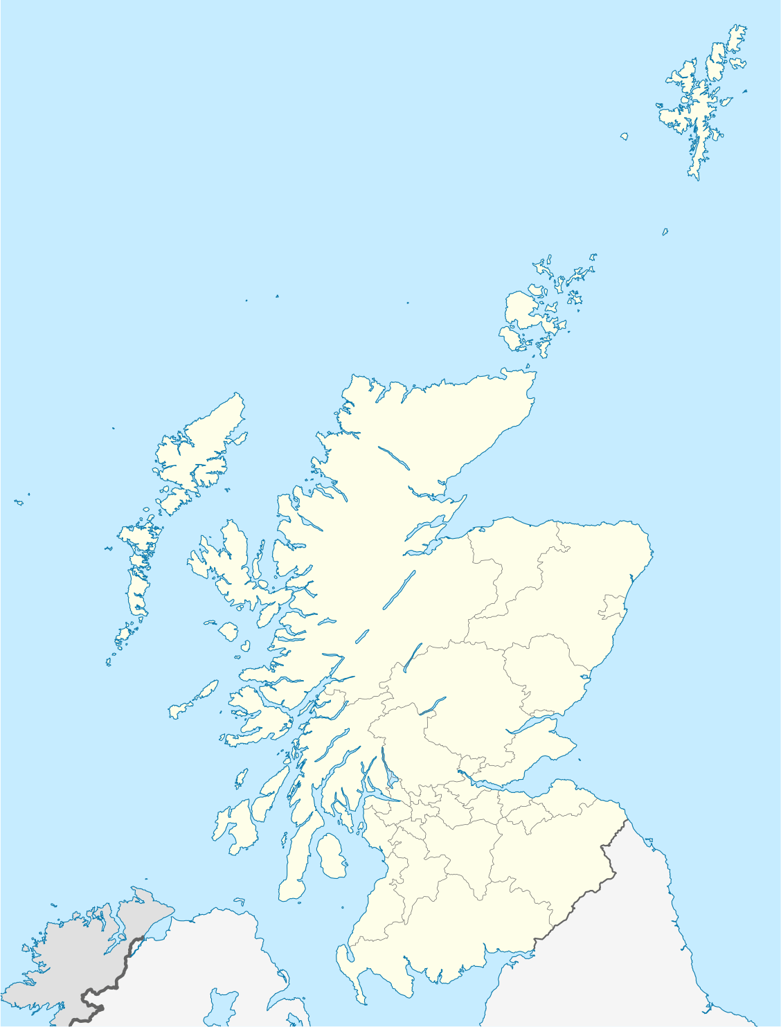
Longhaven Cliffs
Buchan coast, south of Peterhead; Trust car park at NK1122639857 · Sea cliffs, coastal grassland and rocky shore
 the ai birderBirding near me
The AI Birder · one-page field sheet
Collieston and Newburgh, Aberdeenshire, Scotland · AB41 8RU · AB41 8RU

Eider · Redshank · Shelduck · Curlew · Dunlin · Lapwing
Waulkmill Hide · Riverview car park viewpoint · Waterside estuary path · Newburgh official viewing platform · Sand Loch Trail · Heath Trail · Hackley Bay viewpoint
Check current access, hide closures and operator notices before travelling. Seasonal birds are possibilities, not promised sightings. Keep to authorised routes and give wildlife space.
Opening and charges checked 2026-10-25. Operator: https://www.nature.scot/enjoying-outdoors/visit-our-nature-reserves/forvie-nnr/forvie-nnr-visiting-reserve
Full guide and current source links: https://aibirder.co.uk/reserves/forvie-national-nature-reserve-and-ythan-estuary
SC 44 · NatureScot reserve guide
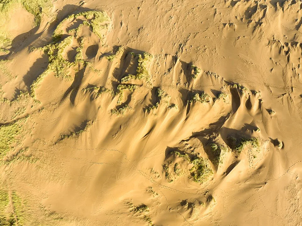
Collieston and Newburgh, Aberdeenshire, Scotland · AB41 8RU
Choose a northern trail or an estuary watch, with breeding closures and seal-viewing guidance shaping the route.
Decide if the visit fits.
Last checked 18 October 2026.
Opening and charges information · checked .
Stay nearby →Reserve overview
Choose a northern trail or an estuary watch, with breeding closures and seal-viewing guidance shaping the route.
Eight checks for a smoother visit.
Conditions change: check the operator and transport notices before travelling.
January: typically look for Redshank and Curlew from Waulkmill Hide. A low tide gives feeding views. Begin with the nearest feeding birds and gradually extend the scan across the visible mud. February: typically look for Dunlin and Lapwing from Waterside estuary path. Use open signed paths. A stationary watch can reveal more than a long walk when wind makes distant identification difficult. March: typically look for Eider from Newburgh official viewing platform. Watch from the platform. Give the birds and seals room, keeping the boardwalk and platform as the limits of your approach. April: typically look for Sandwich Tern and Eider from Newburgh official viewing platform. The southern reserve is closed from 1 April. Watch fishing birds over open water; a close view never justifies crossing the breeding-area fence. May: typically look for Tufted Duck from Sand Loch Trail. Use the path and seats. Use the seats for a longer scan and let birds surface again before trying to identify them. June: typically look for Skylark and Meadow Pipit from Heath Trail. Keep to the route. Listen between gusts, keeping enough attention on the uneven ground to make the walk comfortable. July: typically look for Common Tern and Arctic Tern from Newburgh official viewing platform. Do not approach the closed breeding area. Compare flight and feeding action from the permitted shore rather than seeking views inside the sanctuary. August: typically look for Fulmar from Hackley Bay viewpoint. Watch flying birds from the viewpoint; do not approach nests. Poor coastal visibility is a reason to shorten this part of the walk, not venture nearer cliff edges. September: typically look for Redshank and Lapwing from Waterside estuary path. Check operator weekly reports. Work slowly through common species first, then investigate unusual shapes from the same public position. October: typically look for Shelduck and Bar-tailed Godwit from Riverview car park viewpoint. Low water is preferable to a flooded estuary. Glare and gusts can hide detail, so change your viewing angle only along the established route. November: typically look for Goldeneye and Wigeon from Riverview car park viewpoint. Allow for bitter north-easterly winds. Keep waterproof layers ready and leave time to return before the short afternoon light fades. December: typically look for Curlew and Red-breasted Merganser from Waulkmill Hide. Choose sheltered viewing where possible. If conditions spoil the estuary view, a brief sheltered watch is a better choice than pressing on.
Best conditions: Our choice is a clear low-water watch for feeding waders, followed by a sheltered inland trail if wind spoils estuary scanning. The reserve team counts birds on exposed mud at low water because high water can move them to fields out of view. Allow for strong coastal winds and never enter the closed southern area.
Visitor arrangements checked 18 October 2026: NatureScot's Forvie Centre is listed as open daily subject to staff availability, 9am–4.30pm from April to October and 10am–4pm from November to March, with Christmas and New Year closure. Toilets are available when the centre is open. The southern breeding area closes from 1 April to 31 August; signs and fencing identify the boundary. No ordinary day-entry or parking charge is listed on the visiting page. Overnight motorhome use is a separate, limited arrangement at the visitor-centre car park, not Waterside. The postcode here identifies the northern centre approach. Read the NatureScot page before visiting because wildlife protection, weather and staffing affect which parts of the day work best.
Access times: Reserve: Public routes throughout the year; southern dunes and intertidal breeding area closed 1 April–31 August. Follow all signed alternative routes. · Hides: Waulkmill is the named public hide; independent unlocking hours are not published. Visitor centre is staff permitting, 9am–4.30pm April–October and 10am–4pm November–March, closed Christmas/new year. · Car park: Waterside, visitor centre and Newburgh approaches are listed. Separate gate hours were not published; overnight motorhome permission applies only to the visitor-centre scheme. · Dawn access: partly. Operator opening information.
Forvie has several distinct starts. Waterside serves the estuary and Dune Trail, while the northern visitor centre serves the Sand Loch and Heath trails. The official leaflet provides their maps. The Sand Loch Trail is a one-mile out-and-back, with seats and views of the water; the longer Heath Trail explores the northern habitat. The Dune Trail from Waterside is a more demanding 3.5-mile route with rough grass, bare sand and a burn crossing. Do not judge its effort from distance alone. Two-hour plan, our suggestion: choose the northern centre, walk the Sand Loch Trail slowly and spend time comparing ducks and gulls from its public outlooks. Add only a short section of the heath if the surface and wind suit. Full-day plan, our suggestion: begin with an estuary watch from the Waterside side on the permitted route, take a proper food break, then change to the northern trails for contrasting habitat. Use the full Dune Trail only if your group is comfortable with its rougher ground and current restrictions. Hackley Bay is an optional extension with uneven sections and beach steps, not a shortcut back to transport. For seal watching, make a separate stop on the south side of the Ythan at Newburgh's official viewpoint. Keep clear of the haul-out, obey the eider-zone signs, and leave the closed southern breeding ground alone. Birding through the open areas already provides a varied day. For a first estuary watch, use a familiar bird as a size reference and work outwards from it. Feeding action, bill length and the depth of water a bird chooses can be as helpful as colour at long range. On the northern trail, pause before an open stretch and listen for movement in the surrounding vegetation. Avoid standing in a narrow gate while using binoculars, as other visitors need to pass safely. A short note of tide, wind and the viewpoint used will make a repeat visit easier to compare. Keep wildlife photographs framed from the public route, with no pressure to approach birds for a larger image.
Use the linked reserve map and directions with current access notices. Species are typical seasonal targets. Light and telescope advice reflects our choice of viewpoint.
Upper Ythan mudflats
Hide opening hours not published; check local notices.
Winter: Redshank, Curlew, Bar-tailed Godwit
Spring: Redshank, Curlew, Bar-tailed Godwit
Summer: Redshank, Bar-tailed Godwit
Autumn: Redshank, Curlew, Bar-tailed Godwit
Light: either. Scope: essential.
Tide: Low water exposes feeding mud; do not enter the estuary.
Ythan channels and mudflats
Watch from the designated parking/viewing area.
Winter: Shelduck, Wigeon, Goldeneye
Spring: Shelduck, Wigeon, Goldeneye, Osprey
Summer: Shelduck, Osprey
Autumn: Shelduck, Wigeon, Goldeneye, Osprey
Light: either. Scope: essential.
Tide: Low water exposes feeding mud; do not enter the estuary.
Estuary and banks
Use open signed routes; southern reserve closed 1 April–31 August.
Winter: Dunlin, Lapwing, Oystercatcher, Little Egret
Spring: Dunlin, Lapwing, Oystercatcher, Little Egret
Summer: Lapwing, Oystercatcher, Little Egret
Autumn: Dunlin, Lapwing, Oystercatcher, Little Egret
Light: either. Scope: essential.
Tide: Low water exposes feeding mud; do not enter the estuary.
Lower Ythan and estuary mouth
Use the boardwalk and official platform, staying away from seals.
Winter: Eider, Turnstone, Red-breasted Merganser
Spring: Eider, Sandwich Tern, Common Tern, Arctic Tern, Little Tern, Turnstone, Red-breasted Merganser
Summer: Eider, Sandwich Tern, Common Tern, Arctic Tern, Little Tern
Autumn: Eider, Turnstone, Red-breasted Merganser
Light: either. Scope: essential.
Tide: Low water exposes feeding mud; do not enter the estuary.
Sand Loch open water
Loose gravel, slopes and a narrow gate.
Winter: Tufted Duck
Spring: Tufted Duck
Summer: Tufted Duck
Autumn: Tufted Duck
Light: either. Scope: useful.
Dune heath and grassland
Uneven sand and grass; wet sections.
Winter: Meadow Pipit
Spring: Skylark, Meadow Pipit
Summer: Skylark, Meadow Pipit
Autumn: Skylark, Meadow Pipit
Light: either. Scope: useful.
Coast and open sea
Start marked by a viewpoint symbol; beach descent has steps.
Spring: Fulmar
Summer: Fulmar
Autumn: Fulmar
Light: either. Scope: useful.
| Spot | Overlooks | Key species by season | Best light | Scope | Tide |
|---|---|---|---|---|---|
| Waulkmill HideHide opening hours not published; check local notices. | Upper Ythan mudflats | Winter: Redshank, Curlew, Bar-tailed Godwit Spring: Redshank, Curlew, Bar-tailed Godwit Summer: Redshank, Bar-tailed Godwit Autumn: Redshank, Curlew, Bar-tailed Godwit | either | essential | Low water exposes feeding mud; do not enter the estuary. |
| Riverview car park viewpointWatch from the designated parking/viewing area. | Ythan channels and mudflats | Winter: Shelduck, Wigeon, Goldeneye Spring: Shelduck, Wigeon, Goldeneye, Osprey Summer: Shelduck, Osprey Autumn: Shelduck, Wigeon, Goldeneye, Osprey | either | essential | Low water exposes feeding mud; do not enter the estuary. |
| Waterside estuary pathUse open signed routes; southern reserve closed 1 April–31 August. | Estuary and banks | Winter: Dunlin, Lapwing, Oystercatcher, Little Egret Spring: Dunlin, Lapwing, Oystercatcher, Little Egret Summer: Lapwing, Oystercatcher, Little Egret Autumn: Dunlin, Lapwing, Oystercatcher, Little Egret | either | essential | Low water exposes feeding mud; do not enter the estuary. |
| Newburgh official viewing platformUse the boardwalk and official platform, staying away from seals. | Lower Ythan and estuary mouth | Winter: Eider, Turnstone, Red-breasted Merganser Spring: Eider, Sandwich Tern, Common Tern, Arctic Tern, Little Tern, Turnstone, Red-breasted Merganser Summer: Eider, Sandwich Tern, Common Tern, Arctic Tern, Little Tern Autumn: Eider, Turnstone, Red-breasted Merganser | either | essential | Low water exposes feeding mud; do not enter the estuary. |
| Sand Loch TrailLoose gravel, slopes and a narrow gate. | Sand Loch open water | Winter: Tufted Duck Spring: Tufted Duck Summer: Tufted Duck Autumn: Tufted Duck | either | useful | — |
| Heath TrailUneven sand and grass; wet sections. | Dune heath and grassland | Winter: Meadow Pipit Spring: Skylark, Meadow Pipit Summer: Skylark, Meadow Pipit Autumn: Skylark, Meadow Pipit | either | useful | — |
| Hackley Bay viewpointStart marked by a viewpoint symbol; beach descent has steps. | Coast and open sea | Spring: Fulmar Summer: Fulmar Autumn: Fulmar | either | useful | — |
Month chips show typical presence or our preferred viewing season. Choose birds that suit the time of your visit.
The reserve team recommends low-water feeding views; high tide can move birds out of view. Peterhead is a regional reference only: local Ythan levels and timing differ. Stay on signed paths and use local conditions, not a guessed correction.
UKHO EasyTide: Peterhead (regional reference; not a Ythan prediction) · RNLI tide safety
NatureScot gives unusually useful surface detail. The Sand Loch Trail has gravel with loose stone, a narrow gate described as 95cm wide, one moderate slope and several gentler slopes, plus occasional seats. Those details allow a more realistic equipment decision than an unqualified access label. The Heath Trail includes uneven sand, grass and wet patches; the Dune Trail is rougher and has slopes and a burn crossing. Contact the centre if you need a route matched to a particular chair or walking aid. For the official seal viewpoint, NatureScot describes an all-abilities boardwalk from the Newburgh side, a different entrance from the reserve's northern centre. Establish the parking-to-platform arrangements separately if that is your main objective. Toilets at Forvie depend on the centre being open, while community toilets at Collieston harbour provide another location. Keep enough energy for the return on an out-and-back path, and avoid carrying a heavy tripod if it compromises balance over sand. Strong wind can increase fatigue even on a route with modest gradients.
The Forvie Centre has displays and tactile exhibits, and its toilets open with the building. Waulkmill hide provides another official wader-watching option overlooking the estuary near Bridge of Forvie. Bring your own water and lunch for the trails; there is no reason to plan an exposed route around finding a café. The centre car park, Waterside and Newburgh are separate places, so decide which facility you need before leaving one for another.
During the April–August breeding season keep dogs under close control or on a short lead in the marked eider zone, and do not enter the closed southern area. In winter prevent dogs approaching shore-roosting birds. Keep them well away from seals throughout the year, using the recommended Newburgh viewing arrangement instead of approaching the haul-out.
NatureScot identifies Stagecoach Bluebird X63 between Aberdeen and Peterhead via Cruden Bay as the nearest bus service. Its visiting page describes Monday–Saturday travel and no service north of Newburgh on Sundays; confirm this with Stagecoach's current timetable for your date. The Waterside car park is a request stop for the southern entry. For the centre, use Collieston Cotehill Crossroads and allow the separately described walk of around 20 minutes. For Newburgh's seal viewpoint, get off in the village and follow Beach Road towards the public viewing approach. These are different stops for different experiences. Drivers use the signed car parks: AB41 6AB is the nearest postcode to Waterside, AB41 8RU to the centre and AB41 6BY to the Newburgh approach. Keep a map showing the actual entrances rather than following a broad rural postcode alone. Leave a daylight margin for the return walk to a request bus stop.
Useful bases for an early start.
Booking.com links are affiliate links: we may earn a commission at no extra cost to you. How these links work.
About 4.6 miles by road, roughly 8 minutes’ drive to the public visitor approach. OSRM measured the Newburgh journey for Forvie National Nature Reserve and Ythan Estuary on 18 October 2026; the estimate excludes live traffic.
Measured driving route · 2026-10-18. Map estimates exclude live traffic.
A nearby Newburgh base for an unhurried start at Forvie National Nature Reserve and Ythan Estuary.Find places to stay in Newburgh on Booking.comAbout 6 miles by road, roughly 15 minutes’ drive to the public visitor approach. OSRM measured the Ellon journey for Forvie National Nature Reserve and Ythan Estuary on 18 October 2026; the estimate excludes live traffic.
Measured driving route · 2026-10-18. Map estimates exclude live traffic.
Compare stays in Ellon if this measured approach fits your wider route.Find places to stay in Ellon on Booking.comAbout 17.9 miles by road, roughly 29 minutes’ drive to the public visitor approach. OSRM measured the Aberdeen journey for Forvie National Nature Reserve and Ythan Estuary on 18 October 2026; the estimate excludes live traffic.
Measured driving route · 2026-10-18. Map estimates exclude live traffic.
Consider Aberdeen when its location suits the other places in your itinerary.Find places to stay in Aberdeen on Booking.comExplore Aberdeenshire’s full guides and smaller birding sites
Forvie Centre's published telephone is 01358 751330. Contact NatureScot about the particular route and access feature you need before travelling, especially if the Sand Loch gate or a rougher trail affects your choice. Use the operator's visiting page and leaflet for current route descriptions, and Stagecoach for the bus timetable. Report a suspected wildlife crime to Police Scotland on 101 as NatureScot advises; avoid confronting people in a way that creates further disturbance to birds or seals.
Check Forvie reserve team wildlife reports. usually weekly Reports show what has been seen, not what will be.
Follow the BTO Birders’ Code and give wildlife space.
Forvie National Nature Reserve and Ythan Estuary: Price not published by operator.
Forvie National Nature Reserve and Ythan Estuary: During the April–August breeding season keep dogs under close control or on a short lead in the marked eider zone, and do not enter the closed southern area.
Forvie National Nature Reserve and Ythan Estuary: Year-round · spring eiders and terns · winter waders.
Forvie National Nature Reserve and Ythan Estuary: NatureScot gives unusually useful surface detail.
Forvie National Nature Reserve and Ythan Estuary: NatureScot identifies Stagecoach Bluebird X63 between Aberdeen and Peterhead via Cruden Bay as the nearest bus service.
Shorter stops within 15 miles in a straight line. Use the operator’s arrival directions for the journey.
Buchan coast, south of Peterhead; Trust car park at NK1122639857 · Sea cliffs, coastal grassland and rocky shore
Hareburn Terrace, Blackdog, north of Aberdeen · Sand beach, dunes and coastal sea
Nearby complete guides.
Stops with a purpose: use one as a contrasting habitat or weather-proof Plan B. Distances are straight-line estimates, not road journeys.